 Image 1 of


Ish River - Salish Sea Map - laminated
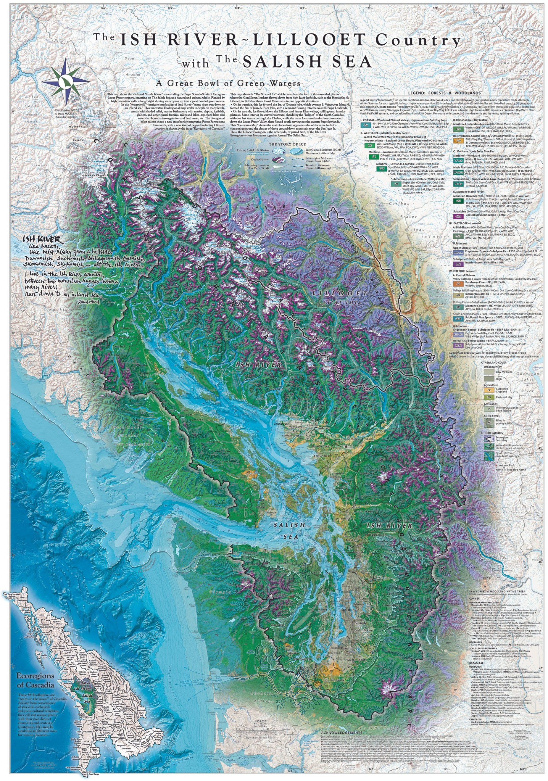
This beautiful new map, companion to the Cascadia Map (2015), shows “The Great Bowl of Green Waters” of The Salish Sea from high Mountains’ crest down thru lush river valleys running into the saltsea... Stunningly detailed, it shows the life of this land on many levels, and tells graphically for the first time the "Story of Ice"
in shaping this place...
Size: 27” wide X 39” high with 1/4"+ margins on all sides